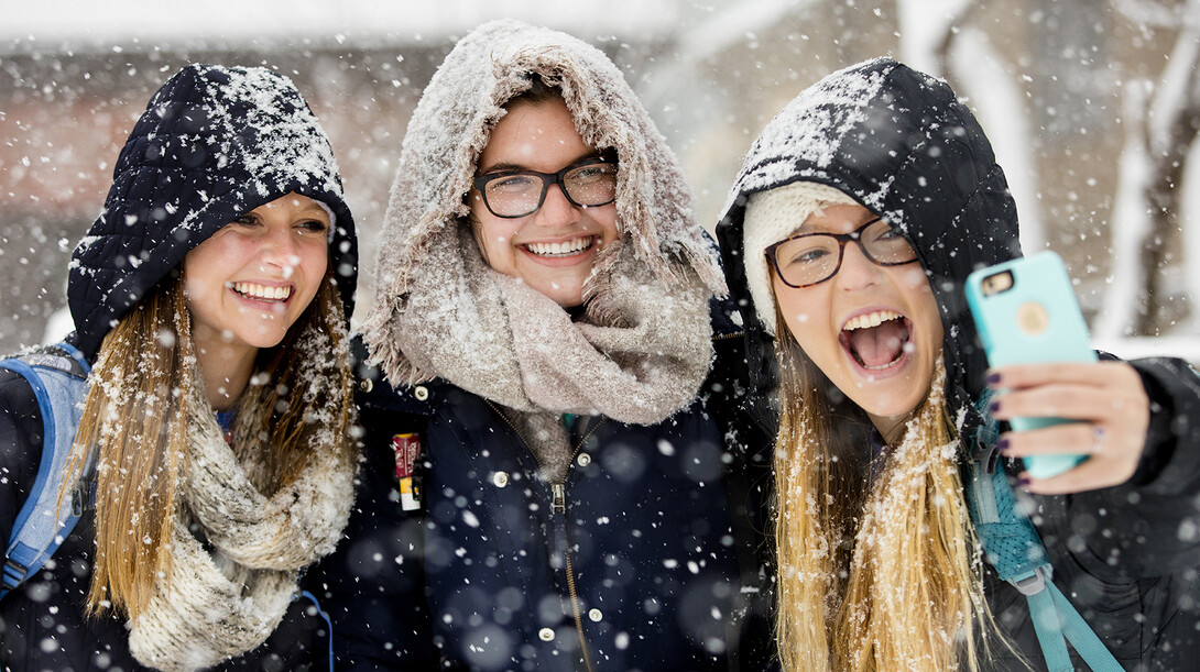
Sorry, Punxsutawney Phil. The same goes to you, Unadilla Bill.
Your famed groundhog weather forecasting ways are too shady — especially after Nebraskans spent the last week tracing the transformation of a weak weather disturbance off the coast of Japan into the current “snowmageddon” burying the Great Plains.
Truth is, modern weather forecasters are getting better at predicting and following such storms due to improved technologies and an expanding data-collection network, said Mark Anderson, an associate professor of Earth and atmospheric sciences and snow researcher at the University of Nebraska-Lincoln.
“When I started weather forecasting, we received weather data on teletype machine printouts and used colored pencils to plot it by hand on maps,” Anderson said. “Today, computers are so much faster and we’ve improved our knowledge about the atmosphere and our capabilities to feed information into the (forecasting) models.
“And we’re able to present that information almost immediately to the public.”
Data for the weather models are collected from a variety of sources, ranging from twice-daily weather balloon launches by National Weather Service offices to technology-laden satellites peering down from orbit.
In the United States, passenger airplanes are even fitted with sensors that collect and report atmospheric data, which is incorporated into weather models, said Al Dutcher, Nebraska’s state climatologist and an associate geoscientist in UNL’s School of Natural Resources Survey Division.
“The data network used to gather information for forecasting models is amazingly more dense than it was 20 to 30 years ago,” Dutcher said. “By gathering more information, we’re able to produce more accurate forecasts and better prepare the public for major weather events.”
New technological advancements in the weather forecasting field are regularly integrated into UNL’s classroom curricula. Anderson said he keeps track of industry trends by attending professional meetings, reading related articles and talking with National Weather Service forecasters.
UNL’s College of Arts and Sciences and Department of Earth and Atmospheric Sciences also recently invested $170,000 into a modernization of a Meteorology-Climatology Lab in 105 Bessey Hall.
While technology and data sources have improved forecasting, the work still isn’t 100 percent accurate. Three-day forecasts remain the most reliable, while six to seven-day models average about 75 percent accuracy, Dutcher said.
“And people want to know what is going to happen right in their backyard,” Anderson said. “We’re not at a stage to do that yet. This storm is a good example, primarily because snowfall totals are very difficult to accurately predict.”
Snowfall estimates with this current storm have ranged wildly, from two inches to more than 12 for Lincoln alone. The track of the storm and where its rain/snow boundary sets up will determine the precipitation outcome.
Forecasts issued late Monday afternoon positioned Lincoln near the rain/snow line. The heaviest snow will fall immediately north of that boundary.
“If you are south of that line, it will be too warm and you’ll see very little if any snow,” Anderson said. “Just north of it and a foot or more will fall.”
As for the rest of the season, Dutcher and Anderson said to expect at least six more weeks (or more) of winter weather.
“We’re in an El Nino-type pattern, which normally translates into extended winter weather into spring across the high plains,” Dutcher said. “I fully expect we’ll see at least a couple of more major snow events nationwide before winter ends.”
