A hole in the ground is much more than just a hole in the ground.
“Describing geology in the subsurface is like putting together a complicated, three-dimensional puzzle,” said Dana Divine, survey hydrogeologist in the Conservation and Survey Division at the University of Nebraska-Lincoln. “Each hole drilled is a piece of the puzzle.”
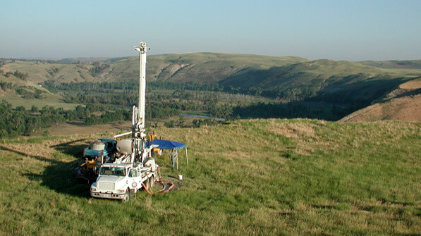
Drilling test holes and installing wells creates boreholes — deep, narrow holes often made to locate fossil fuels or water — each of which tells a story. Every borehole log is filled with valuable data for mapping geology and quantifying water resources.
“The more pieces scientists and professionals can assemble, the better we can understand the geometry of and variability within an aquifer, which ultimately leads to better research outcomes and more informed management and use of water resources,” Divine said.
That’s where the Conservation and Survey Division’s latest publication, “Basic Guide for Description of Cuttings from Boreholes in Nebraska,” comes into play.
The guide provides examples of typical geologic materials encountered in Nebraska during the drilling of water wells and shallow test holes so geologists and well drillers can consistently catalog geologic material.
“It’s the first publication of its kind for Nebraska in several ways,” Divine said. “The most important of which is its focus on cuttings recovered from drilled boreholes.”
Once a rock unit has been drilled into small bits and brought to the land surface, it can be difficult to decipher the rock type and the geologic unit from which it came.
“If the person describing the cuttings can’t accurately identify them, then that borehole is not a useful piece of information and doesn’t contribute to research efforts or the larger picture of the aquifer system,” Divine said.
The guide features photos of what a rock looks like intact next to photos of the corresponding cuttings, which significantly aids in the accurate identification of geologic units. A list of distinguishing characteristics for each rock and sediment type is included alongside the photos.
The guide is also printed on tear- and water-resistant paper, an added bonus for the well drillers, geologists and engineers who often work under messy and unpredictable conditions.
“This guide has been needed by the local geological community for a very long time,” said Matt Joeckel, Conservation and Survey Division director and Nebraska state geologist. “We all hope that the guide will assist in standardizing the nomenclature for borehole descriptions in Nebraska, and in that manner make the many well logs that are produced every year by individuals other than geological survey personnel at CSD more uniform and more scientifically useful than ever.”
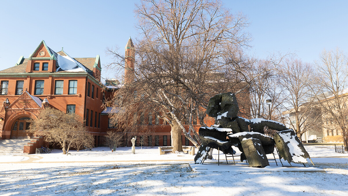
The guide costs $29.95 and is available at the Nebraska Maps and More Store on the first floor of Hardin Hall at 33rd and Holdrege streets. It can also be purchased online at http://nebraskamaps.unl.edu and amazon.com. To place an order over the phone, call 402-472-3471.


