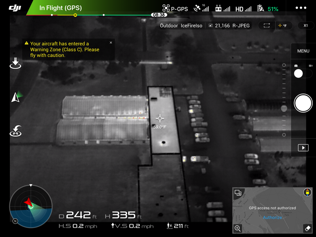
Cracks and water damage. Heat leaking from miniscule seams in windows and roofs.
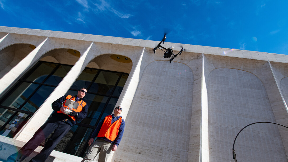
Using an iPad and a drone, Berry Scott, zone supervisor with the University of Nebraska–Lincoln’s Facilities Management and Planning team, can spot potential campus building problems like these in precise detail — without ever having to leave the ground.
Nebraska’s facilities workers have been regularly flying drones over the roofs and around the exteriors of City and East Campus academic buildings since 2017. The airborne approach has had numerous benefits.
“Safety-wise, somebody doesn’t have to climb on a ladder to go look at something. You can just use the drone to go up there,” said Scott, the project’s lead organizer. “And it’s time-saving, because you don’t have to get a ladder out. Although we have to get the drone out and set it up, it’s not very hard — it’s about a 10-minute safety check to get everything ready, and then you’re up and looking at stuff.”
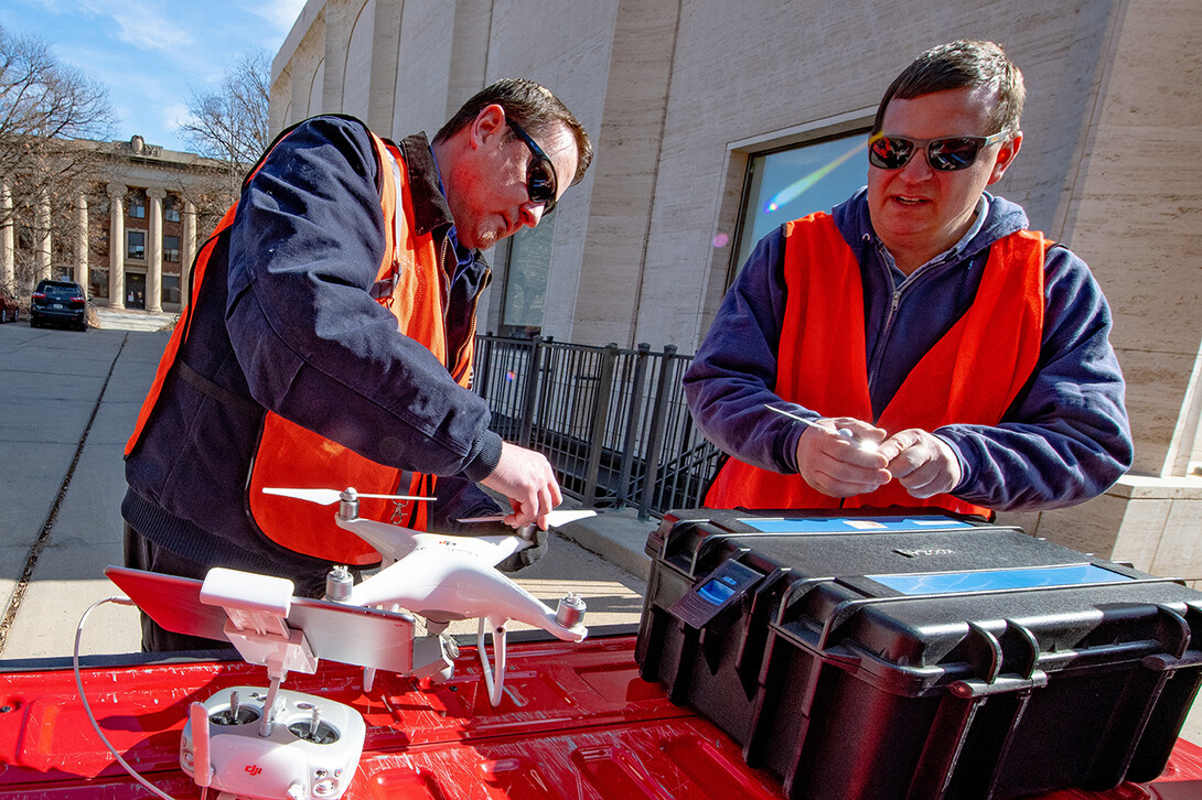
Controls technician Matt Raiter and electrician Rick Haney also help fly the campus drones. All facilities members who operate them are required to take a licensing exam every two years.
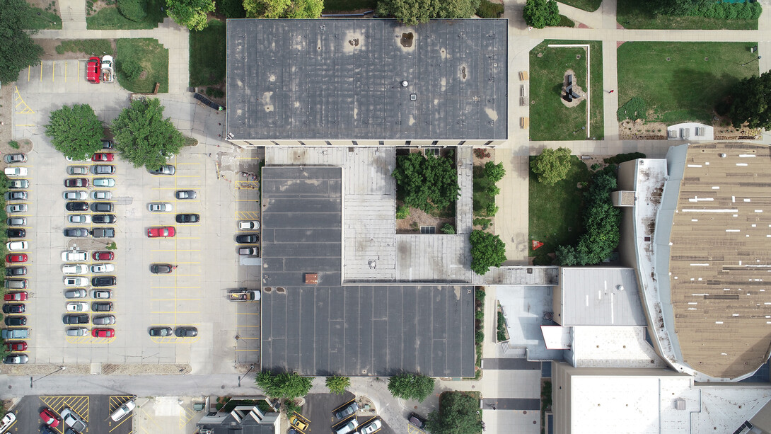
The team members snap a picture using the drone if they notice damage on a building. In certain weather conditions, a special camera also allows them to use thermal imaging, which captures the heat difference in roofs or windows.
Afterward, the photos are placed in a database for the structural side of the facilities team to examine. Scott said having a solid record of damages has allowed for easier decision-making when it comes to costly roof repairs.
“Before, we had a roofing crew, but I don’t think anyone was taking a full picture of the roof. You just couldn’t get up to get it. So this is actual history and documentation and data there to look at,” Scott said. “It helps tell a story a little more when they’re going after funding for bad roofs. Instead of just telling them ‘This roof is bad, we’ve had leaks,’ we can show somebody and you can see all the patch jobs.”
While drone operations are typically stalled during the winter, they’ll resume weekly flights once temperatures warm up.
“Right now, we probably haven’t flown since November — just because if you have snow, it doesn’t really do any good to take pictures,” Scott said. “The drones don’t like to fly under 25 degrees. Wind affects it too. If it’s blowing much more than 20 miles per hour, it’ll fly, but it doesn’t make for good pictures.”
The drones have been put to use for other campus projects, including documenting updates on boiler chimneys and photographing trees on East Campus. Scott also sees many additional uses for them in the future, like GIS mapping and landscaping work.
“There’s a lot you can do with drones,” Scott said.
