Supported with $1 million in federal funds awarded via Nebraska’s Department of Economic Development, Husker community and regional planning experts are developing long-term recovery and resilience strategies for communities hardest-hit by historic 2019 flooding.
The multifaceted effort was launched at the start of 2024 by a team of two postdoctoral researchers and three graduate students, led by University of Nebraska-Lincoln faculty members Zhenghong Tang and Yunwoo Nam.
Focused on 31 communities in Douglas, Sarpy and Dodge counties, primary goals are to thoroughly evaluate flood risk; provide risk mitigation education and outreach to residents; and propose new planning, zoning and land-use approaches to government leaders. The anticipated outcome is better risk awareness and housing resiliency plans at both local and regional levels.
“The project is designed to address flood vulnerabilities in counties affected by the 2019 historic floods,” said Tang, director of the Community and Regional Planning program in the College of Architecture. “It will promote comprehensive community resilience, resulting in buildings that are more resilient to the impact of natural disasters.”
The U.S. Department of Housing and Urban Development supplied the funds for the project, reflecting the agency’s stated commitment to help underserved communities in hard-hit areas to recover from disasters. The UNL team also received an additional $93,750 grant of HUD funds awarded through North Carolina A&T University for additional work with disadvantaged and tribal communities.
Severe winter weather, winds and historic flooding in 2019 left an indelible mark on many communities. Although the most serious damage was concentrated in the eastern part of Nebraska, 84 of the state’s 93 counties, plus four tribal areas, were presidentially declared disaster areas at the request of former Gov. Pete Ricketts. The declaration activated the Federal Emergency Management Agency to assist in response and recovery.
Because of the historic amount of damage, the state received a $108.9 million allocation of Community Development Block Grant Funds for Disaster Recovery to support the long-term recovery process. The Nebraska Department of Economic Development designated a portion of the block grant funds for the UNL team to help communities understand their risk and use community planning mechanisms to facilitate resiliency.
The team is working particularly with the 12 most affected communities designated as high risk by FEMA: Hooper, Winslow, North Bend, Fremont and Inglewood in Dodge County; Valley, King Lake, Waterloo and Venice in Douglas County; and La Vista, Bellevue and LaPlatte in Sarpy County. All were declared disaster areas after the 2019 floods.
“There are serious needs, particularly among low-income, disadvantaged and under-resourced communities,” Tang said. “Those communities are still at risk for future flooding. That’s why we need to undertake a lot of public awareness, stakeholder education and policy actions to mitigate the risk for the future.
“That’s why the university is out there providing professional services, particularly for small rural communities that don’t have the resources.”

Five years on, some communities have been unable to fully implement strategies to prevent or mitigate future disasters, such as relocating residents, discouraging development in flood-vulnerable areas and improving structures to resist or divert flooding.
Leaders in Winslow, for example, have met with many difficulties in implementing a plan to relocate their community to higher ground.
Jenny B. Mason, director of community development and disaster recovery for the Nebraska Department of Economic Development, touted the collaborative approach being taken by the UNL team.
“This collaborative research will promote the integration of mitigation measures into regionally or locally established plans, ordinances or policies,” she said. “Studies consistently show that the integration of nonstructural mitigation measures reduces future risk and recovery costs. Careful, considerate decision-making during ‘blue skies’ can lead to resilient strategies that better prepare a community for a disaster. The cost of a disaster to a community and its residents can be reduced by looking proactively at flood risk and vulnerabilites.”
Nam said the team is using the Geographical Information System to review how private levees factored into the 2019 damage and their potential impact in future disasters.
“The community-level flood risk maps we’re preparing will enhance community risk awareness of extreme disasters and guide community decision-making on land-use planning and development in risky areas,” he said.
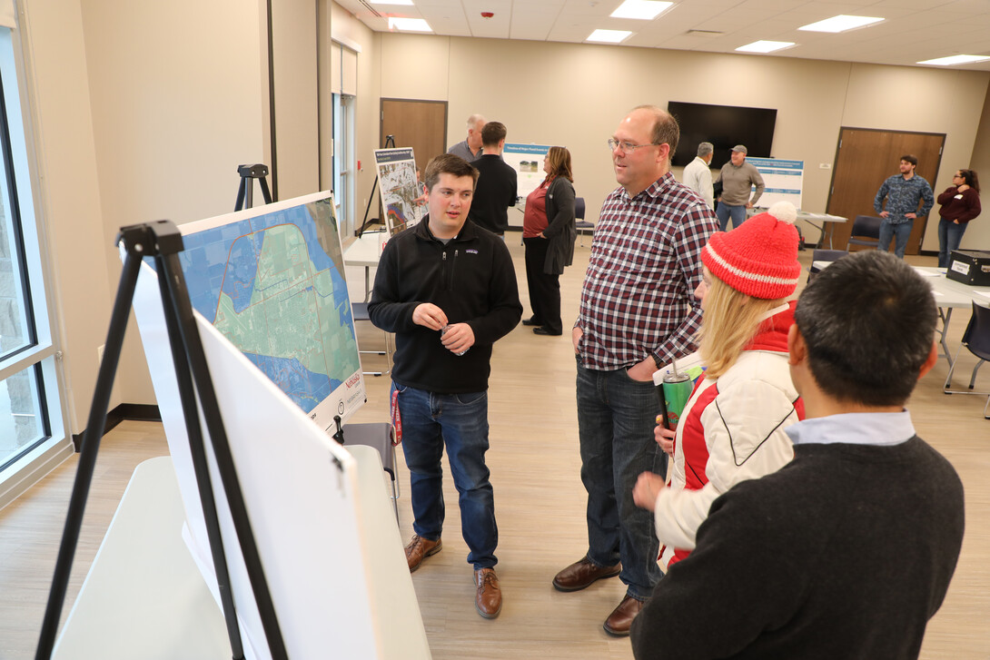
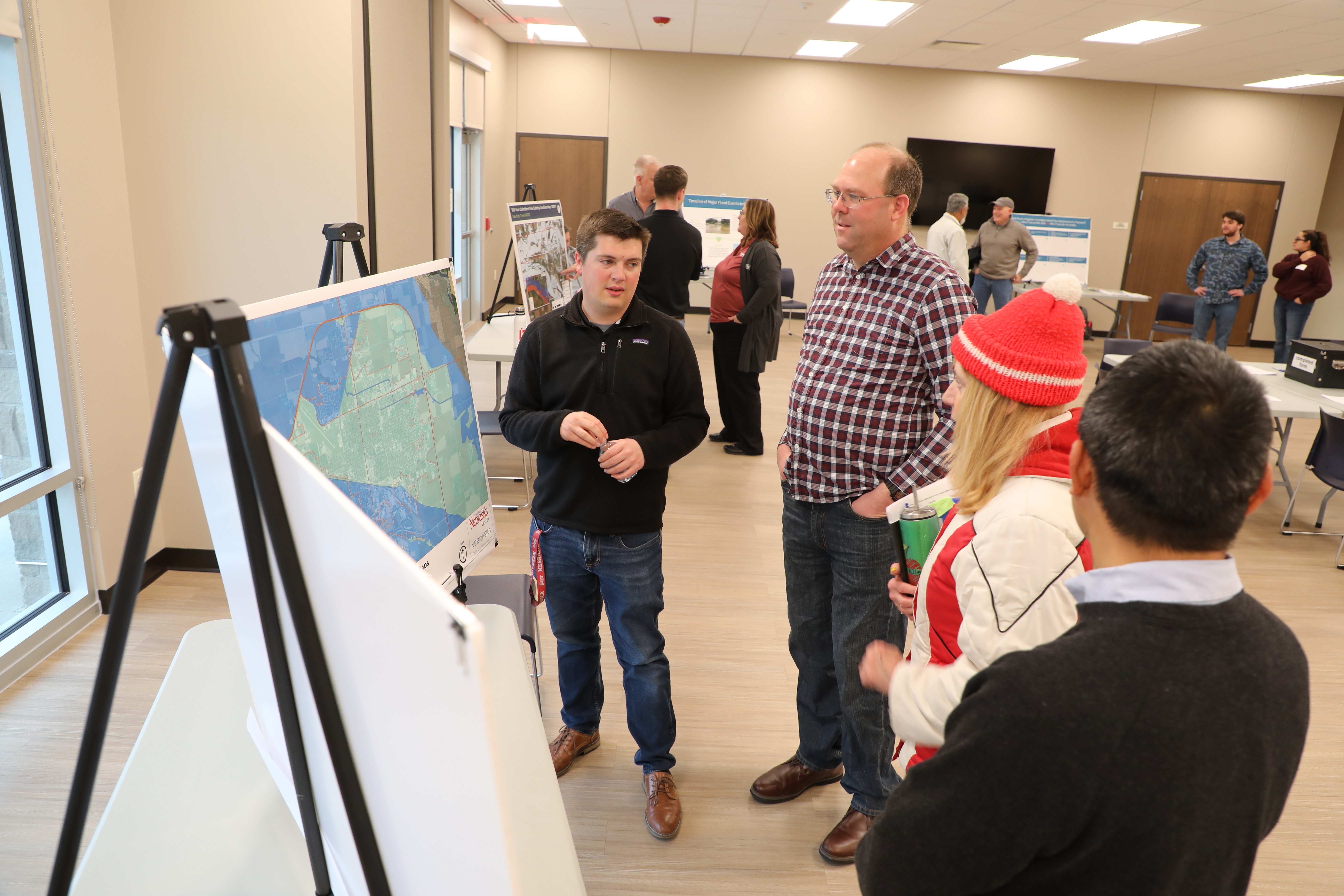
On April 1, a few weeks after the flood’s fifth anniversary, the team staged its first flood plain awareness open house, for Fremont residents. The event offered strategies to reduce flooding risks and to increase public awareness. More events will be scheduled.
Fremont City Planning Director Jennifer Dam, who attended the event, said improved risk mitigation and increased awareness will help her city earn credits on the Community Rating System, a voluntary FEMA program that encourages better community floodplain management practices and qualifies communities for lower flood insurance rates.
At the Fremont open house, UNL graduate research assistant Grayson Clark emphasized the project’s impact on communities and the people who live in them.
“You are having a direct impact on people’s lives, not just for today, but for decades and years to come,” he said.
Tang said the goal is not to push residents to relocate out of flood-prone areas, nor is it to build levees or rebuild damaged structures. Instead, the project will focus on non-construction, non-engineering mitigation strategies, such as risk identification, public education and land-use policies, including land acquisition and improved zoning regulations to deter future development in flood-prone areas.
“Relocation decisions belong to local communities,” he said. “That is a long and painful process, involving people’s homes and assets. After five years, many have not moved out of the flood plain. A lot of the residents don’t want to move out. But if nobody takes action and there’s another huge flood – maybe even bigger than the 2019 flood – the risk is still there. There will be more suffering.”
An advisory team includes representatives from local, regional, state and federal authorities, including the Omaha office of the U.S. Army Corps of Engineers, the Nebraska Department of Economic Development, the Nebraska Department of Natural Resources, the Lower Elkhorn Natural Resources District, the Papio-Missouri Natural Resources District, the Lower Platte North Natural Resources District, and emergency managers from Douglas, Sarpy and Dodge counties.
Among other things, the funds support salaries, benefits, travel and equipment costs for two postdoctoral researchers and three graduate researchers who, over the next two years, will develop and implement tools in flood risk assessment, geodatabases and community risk mapping; risk awareness education, community engagement, land use and housing resilience planning; hazard mitigation and post-disaster evaluations; and an array of related data collection and analysis.
By the end of 2024, the team will have completed flood risk awareness and housing resiliency plans for high-risk communities, enabling those communities to pursue Community Development Block Grants for housing purposes. By the end of 2025, the team will have evaluated existing efforts and produced a guidebook for local and regional planning that shows how mitigation measures and resilient building standards can be integrated into local plans, policies and procedures.
“Communities have worked hard on different pieces, in terms of education, levees and policy adjustments,” Tang said. “But the planning process takes a long time, and the risks are still there.”
Share
News Release Contact(s)
Related Links
Tags
High Resolution Photos

HIGH RESOLUTION PHOTOS


