Tornado experts at UNL say “twin tornadoes,” such as the deadly pair that struck Pilger Monday, are unusual but not unheard of.
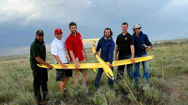
However, such tornadoes may happen more frequently than weather observers realize, because the second funnel often is obscured by rain, said Adam Houston, associate professor of atmospheric sciences. Houston’s research involves using unmanned aircraft, commonly called drones, to observe tornadoes.
Houston said he has seen twin tornadoes twice in his career, once in June 2010 in Colorado and another instance in 2004 in southern Kansas. In both cases, the second funnel had been “wrapped” in rain and became visible only when the rain cleared.
The Pilger tornado, which left two people dead and leveled most of the town of 360, was a rare instance where both funnels were visible in broad daylight, Houston said.
Matthew Van Den Broeke, an assistant professor of atmospheric sciences who specializes in severe weather, said he needs more data to get a better sense of how the Pilger storm differed from other tornadoes.
“At this point I can say the storm was the type that typically produces strong tornadoes and the double-tornado event was unusual — quite unusual, in fact to have two tornadoes of that strength in close proximity,” he said.
State climatologist Al Dutcher, who also is on the UNL faculty, told the Associated Press Tuesday that it’s fairly common to have major storms with more than one tornado — but in most cases, one twister grows stronger and larger while the other weakens and shrinks. He said the strength of both funnels likely increased because they had no nearby storms competing for wind and moisture and the atmosphere was highly unstable.
The National Weather Service was on the scene Tuesday trying to measure each tornado’s strength. A preliminary review confirmed that two tornadoes formed southwest of Pilger and traveled together, about a mile apart. The northern tornado struck Pilger before the two twisters merged, Van DeWald, lead meteorologist for the National Weather Service in Valley, said in a Lincoln Journal-Star report. The storm is estimated to be a “monster” EF-4, near the top of the scale that rates tornado strength.
According to Houston, when a storm produces two tornadoes, one typically is older and losing strength, while the other is new and building strength. It is rare for two twisters to form simultaneously. Usually when they do, they are two vortexes embedded in a larger-scale vortex.
Houston, on sabbatical to conduct research at the University of Colorado in Boulder, said he has only seen photos and videos of Monday’s tornadoes. He said he is eager to see the National Weather Service’s data on the storm.
Houston said there is much more to learn about how tornadoes develop and move. In 2010, his research team successfully demonstrated that drones could be used to gather atmospheric data about the storms. He seeks additional funding to continue using unmanned aircraft to investigate the powerful and often devastating storms.
Van Den Broeke, whose research has focused on the radar structures of tornadoes and supercell storms, said his brief review of radar data during the storm revealed it had some unusual structures, such as a large central precipitation core and a relatively small echo appendage where a tornado would usually be located.


